Garner coordinates flood operations with various federal, state, and local agencies and can operate State-Federal Flood Operations Center to flood field operations. The Incident Management Team Leader is the primary liaison with the client’s Office of Emergency Management on flood events, potential high-water situations, and other flood emergency issues. In preparation for such events, Garner maintains a complete range of pumps and accessories and has flood management control specialists and pump operators ready for immediate dispatch. Our Flood Operations Team works year-round on emergency preparedness, coordination, and conducts pre-season training and drills to be prepared when needed.
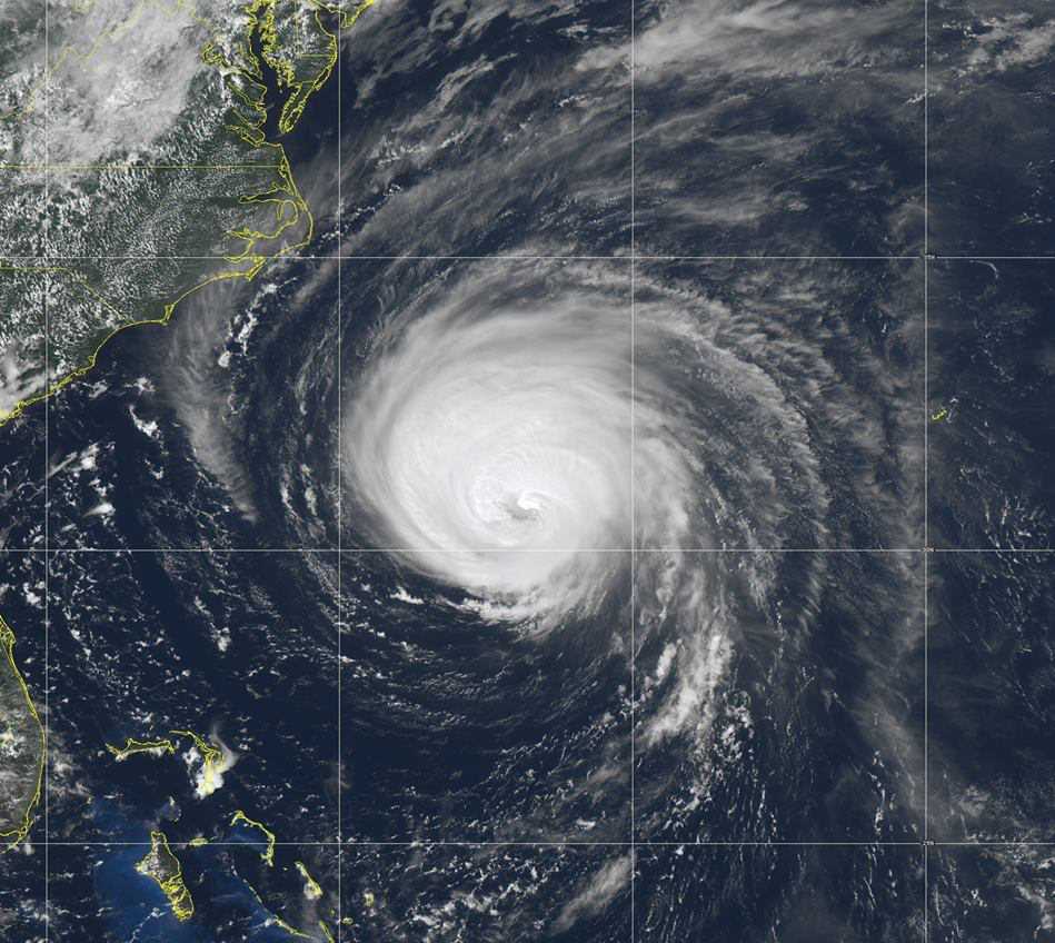
Flooding can develop slowly, over a period of days or happen fast in just minutes without sign of rain. Floods are the most common natural disaster in the United States. Failing to evacuate flooded areas or entering floodwaters can lead to injury or death. As every state has the potential to be at risk, be aware of flood hazards, especially if you live in a low-lying area, near water or downstream.
While you can’t always predict when a flood will strike, you can stake steps to prepare now:
- Know the flood risk for your area. If flash flooding is potential, monitor for the signs.
- Sign up for your community’s warning system. The Emergency Alert System (EAS) and National Oceanic and Atmospheric Administration (NOAA) Weather Radio also provide emergency alerts.
- Know and practice your evacuation routes, shelter plans, and flash flood response.
- Make a family emergency communication plan and include pets.
- Have an emergency supply kit ready at home, at work, and in the car available in case you need to leave immediately or if services are cut off.
- Purchase or renew a flood insurance policy. It takes up to 30 days for this policy to go into effect, so be mindful and purchase promptly.
- Keep essential documents in a dry, safe place, or create password-protected digital copies.
- If in an area prone to flooding, protect your property by moving it to higher levels. Install check valves in plumbing to prevent backups. Consider a sump pump with a battery.
If you find yourself in a flood:
- Go straight to your safe location.
- Listen to EAS, NOAA Weather Radio, or local alerting systems for current emergency information or instructions.
- If you are in an area at risk for flash flooding, watch for warning signs such as heavy rain.
- Evacuate immediately when advised by authorities or if you are in a flash flood situation.
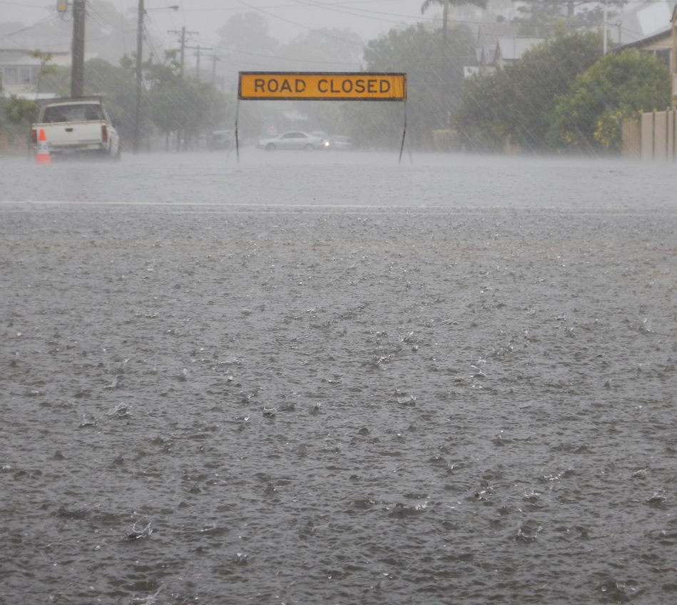
- Never drive around barricades. They are there for your protection. Turn around. Don’t drown!
- Do not walk, swim or drive through floodwaters
- Stay off bridges over fast-moving water. Bridges can be washed away without warning.
- If trapped in a building during a flood, go to the highest level avoiding the attic to prevent becoming trapped by rising floodwater. Only go to the roof when necessary, and once there is a signal for help.
Floodwaters can recede quickly or last several days. Be mindful to:
- Follow the instructions of local authorities and only return home when instructed it is safe to do so.
- Look out for wildlife that may have been displaced in the floodwaters.
- Look out for down powerlines and be aware of the risk of electrocution if any electrical equipment is wet.
- Avoid wading in standing floodwater. It can be contaminated or contain debris.
Quick Links:
Ready.gov – Flood Tool Kit
Harris County Flood Control
FEMA App
FEMA Flood Map Service Center
Flood Insurance Program
 Skip to content